
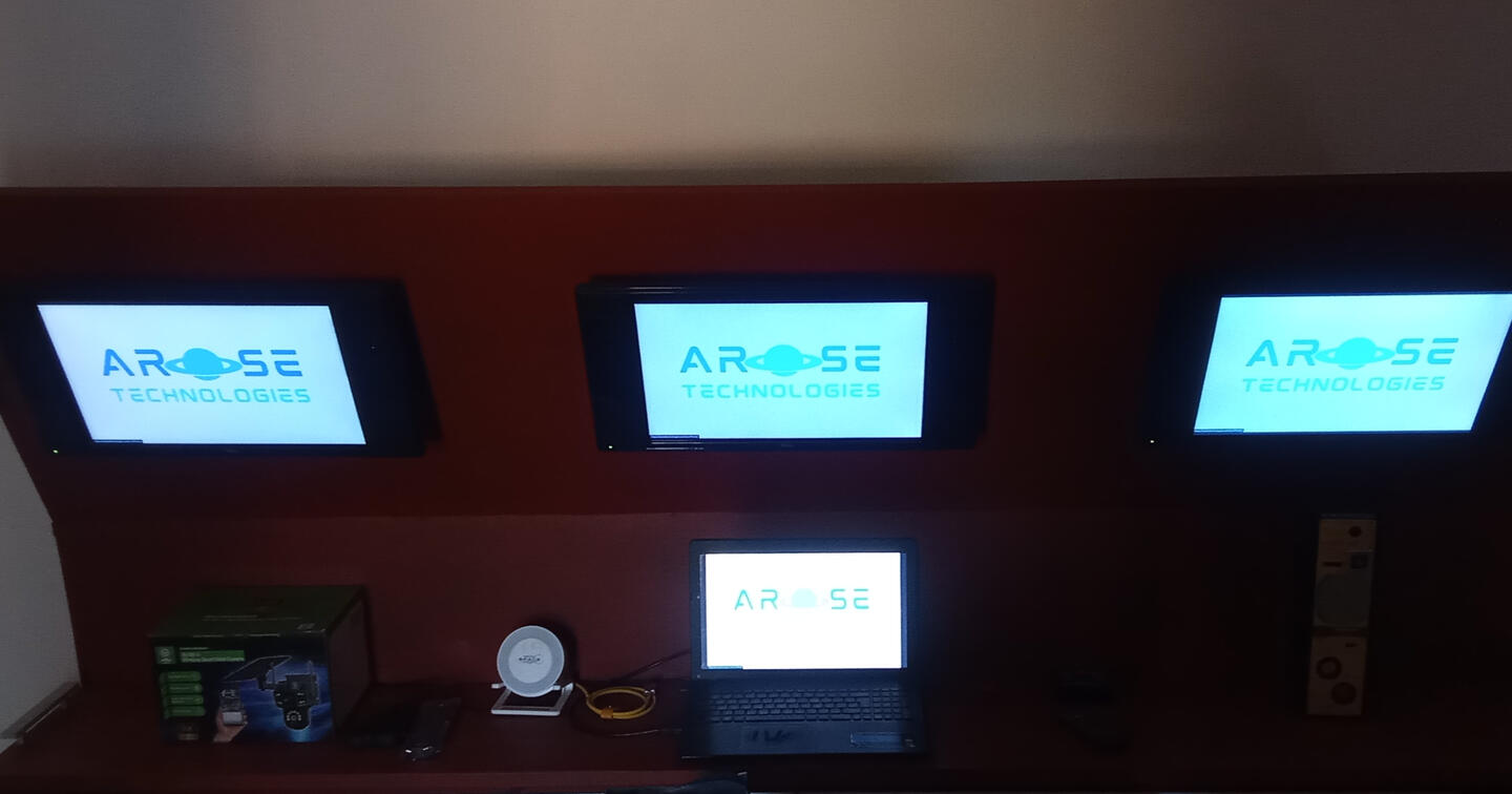
MAPS | NETWORK | MEDIA | SECURITY | ENERGYEnter Site Here!

AROSE Technology's ISS Live Cam 24/7 365 days

[click/touch colour icons for links]
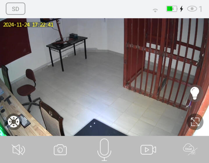
Arose ISS Live Camera
Arose & Earth Zoom Map
Arose Esri Thermal Tracker
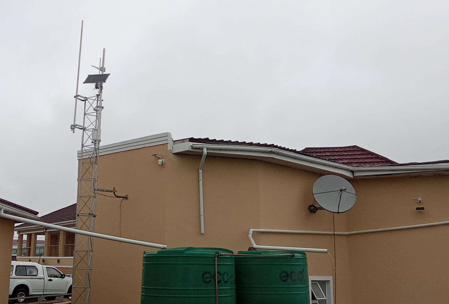
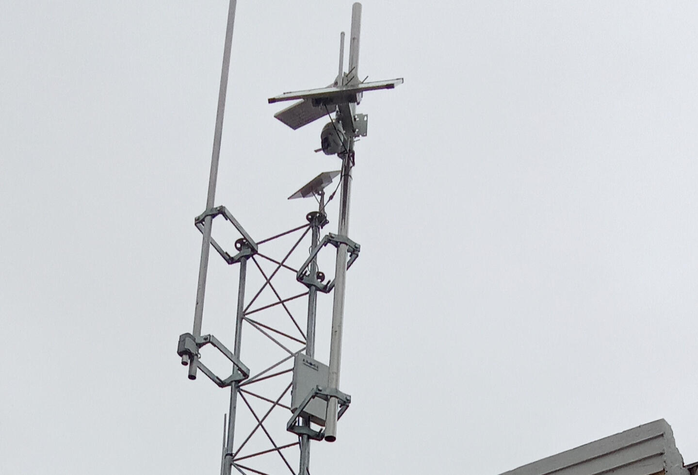
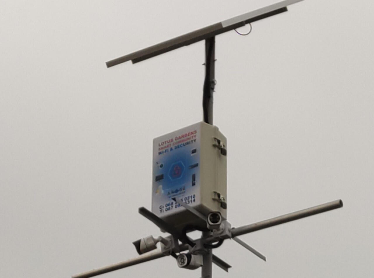
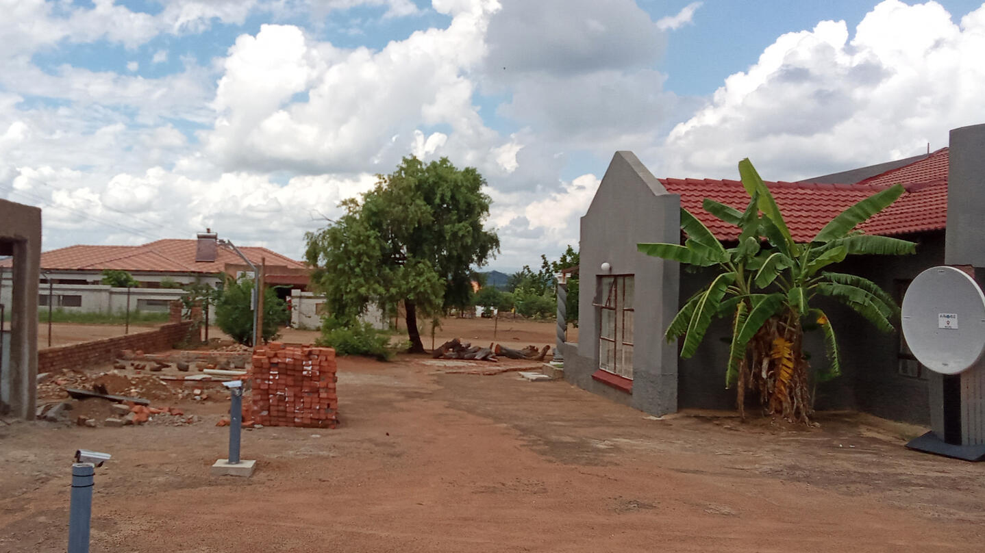
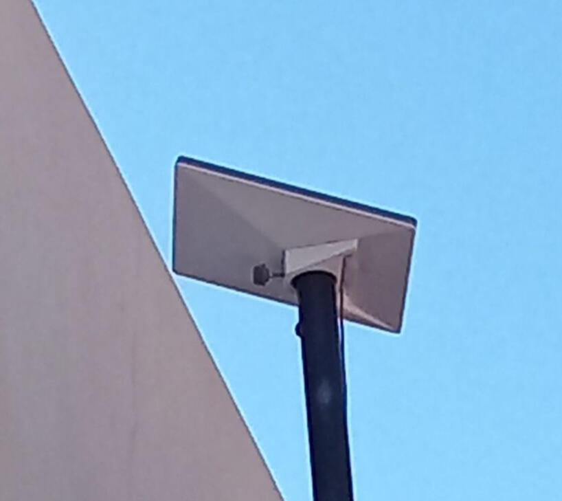
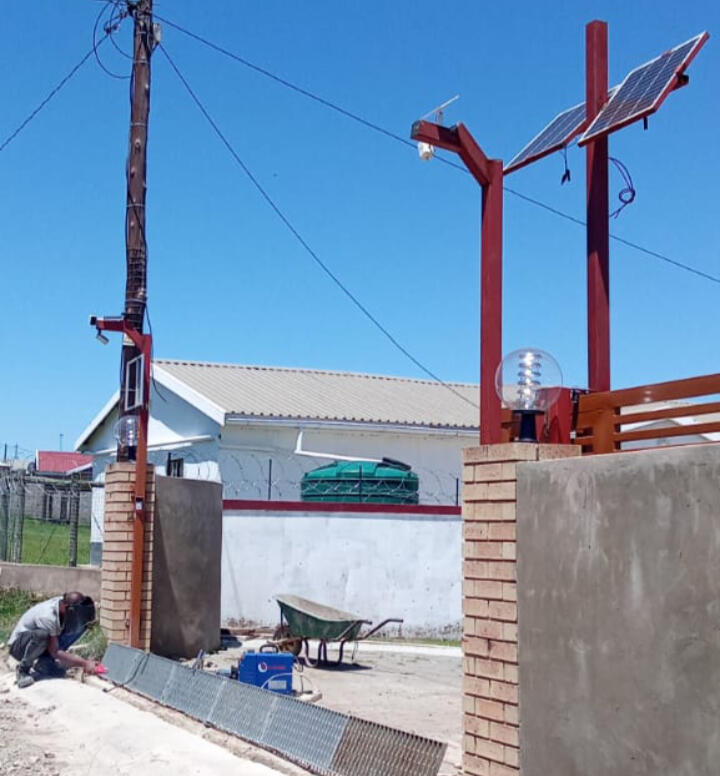
Arose Mission Smart Poles
Arose & EOS Crop Monitor
Arose ISS Location Tracker
AROSE Space Videos

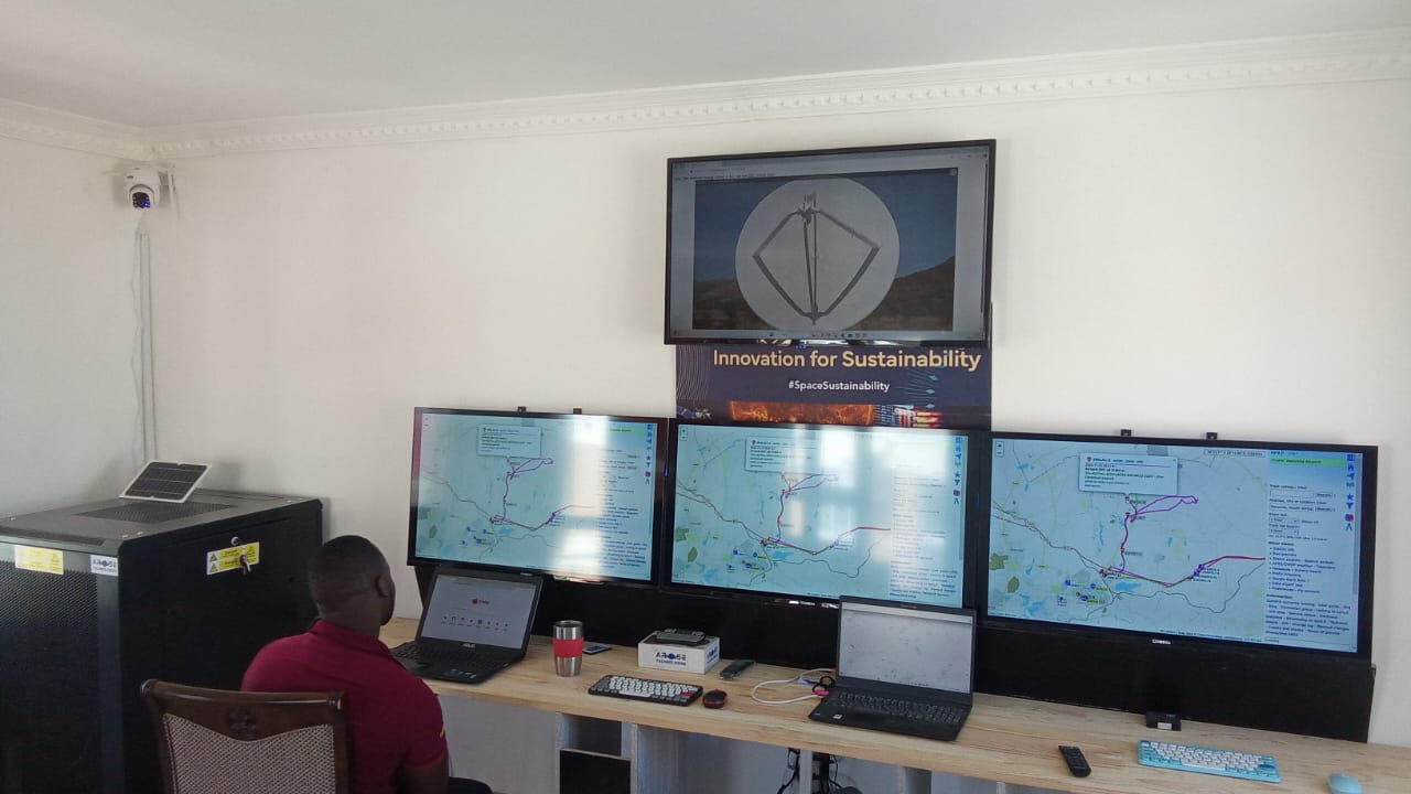
AROSE MISSION CONTROL CENTRES- WE'RE EXPANDING OUR POINT OF PRESENCE (POP) IN SOUTH AFRICA TO 150 SITES (TOWERS) OVER THE 10 YEARS, AND AIMING FOR 5X 21M TOWERS IN THE NEIGHBOURING SADC STARLINK APPROVED COUNTRIES.

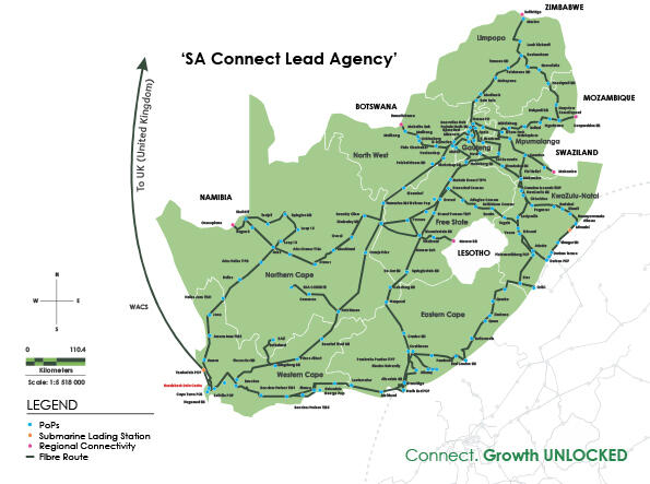
Based on our Plans, the National Fiber and 5G Investment has slowed down, opening Opportunities to offer FTTH and FTTB offerings.
From AROSE Team

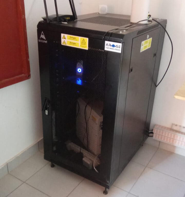
Value Added Security Systems by Arose Technologies
Training and Education Program:
WE USE SPACE TECHNOLOGY TO IMPROVE LIVES HERE ON EARTH: Presented by DT Tabane
• We can use Space Technology to improve lives in Urban and Rural areas. Example. GPS (Global Positioning Satellites) location helps us know where we or our assets are in real time, using GPS
-
• Currently our Team at DTTABANE'S AROSE TECHNOLOGIES, are working on Smart Villages.
-
• Smart Villages will allow students to access Education and Higher Educational Institutions to be available even in the most Remote Areas, using Satellite Internet. Botswana
-
• DTTABANE CONSULTING already offers Satellite Internet solution used to connect Banking ATMs, a Village Traditional Office, University Project, and recently to connect Campers at a recent Desert Bush Walk and now on trial for Farms
-
• Today, Children, young people and adults across the Globe can join us anywhere in South Africa where there is Internet Connection, to Contribute to the Global Observer Community. This project allows Anyone to share their local Environmental Changes and contribute to Global Observer Database to improve Global Earth Observation Satellites.
-
Join our AROSE Global Observer Citizen Scientists today and Learn how we can also help make Satellites Clever or Use Satellite information to improve our lives here on Earth.
What is AROSE Globe Observer Citizen Scientists Education Project?
What is GLOBE Observer?
A citizen science app allowing volunteers in GLOBE countries to take observations and contribute to the Global Learning and Observations to Benefit the Environment (GLOBE) community
A way to collect data to track changes in the environment in support of Earth system science research, and interpret NASA and other satellite data
An open data set available to scientists, and supporting students of all ages in doing real scientific research through the GLOBE Program.
How to get the App


TRY SPACEX CREW DRAGON
ISS DOCKING SIMULATOR
African Research Organisation for Space Exploration Technologies uses Multiple Advanced Global Positioning Satellites, Earth Monitoring Satellites, Remote Sensing Satellites, Remote IoT Sensors and Internet Based Satelites. This service is based on our future Action Plan to take part and support the AU's GMES (Global Monitoring for Environment and Security) initiative and the AU Agenda 2063 Programme.
Credit: SpaceX
OUR HOME E-LEARNING CENTRES ARE LAUNCHING ON HOME TV'S SOON:
AROSE FREE AND PAID
MAP DATA REQUESTS/ENQUIRES
Cell/WhatsApp: +27 68 285 0210
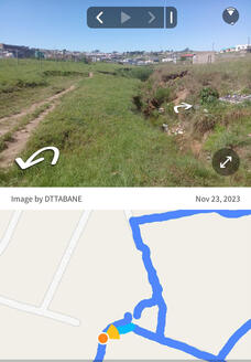
• Demo: Alexander Informal Settlements Map
Courtesy of Flying LabsServices:
• Free Surveyor General's Private Stand Map (R10 A4 Colour/Email)
• Drone Mapping Requests From R7,500
• Public Area Mapping Requests from R120,000 per Village incl Database of Images captured.
• Private Land Mapping Requests From R12,500
• Commercial Land Mapping Requests R14,750This is a service for Mapping on the Ground Level for Landcover, Satellite Images and Drone Imaging including your Land Use Data and Chief Surveyor General's office data. Costs are in SA Rands and may be converted for Country Specific Currencies for Estimated costs.
Pay For AROSE IoT WiFi Network
Prepaid Live Tracking or Location Map Data (per month)
Membership only Fees
For Non-emergecy Tracking
Or Call 999 for Emergencies
N.B. Please send full details of device being tracked, Name of person who owns the device, Number and Secure ID Code/Verification. Tracking requests are for Prepaid Registered Members only.

SPACE TECH VIDEOS

From the Founder and Coordinator DT Tabane:We are pleased to share with you our Satelite and Ground based solutions and International Logistics tracking service. This service is also based on our future Action Plan to take part and support the AU's (African Union) GMES (Global Monitoring for Environment and Security) initiative with multiple Global Space Industry Players including SANSA, China, ESA, Roscosmos, India, NASA and JAXA.Our global Space and Earth impact reports will integrate our financial responsibility and sustainability information. These reports will also include our Partnership and Investments with/in businesses with ethical Space research (e.g. GPS & Communication Satellites), safer Data handling, Environmental awareness, Renewable Energy and commitment in reduction of Green House Gas emissions across our Partner network.